← All tools

LIVE RIVER LEVELS · ALL ENGLAND RIVERS

Live River Levels

Live river levels for UK anglers, straight from Environment Agency gauges across England. Search your river — Trent, Severn, Thames, Nene, Great Ouse and the rest — see the latest reading, whether it’s rising or dropping, find a stretch and get a feel for what’s changed before you load the motor. Always check the bank and flood warnings too.

Start here: find your river

Type a river, town, stretch or gauge name and hit Search to see the latest level.

Stay safe

Levels can change fast. Check flood warnings before you go.

Check for flooding

River close season

Coarse fishing on English rivers has a close season from 15 March to 15 June. Some waters have their own rules too.

GOV.UK fishing rules

Find a river stretch

All stretches →

Pick a gauge above to narrow these guides to its river.

River Thames, Black Potts Railway Bridge

David Dixon

River Thames — Home Park and Potts Field, Windsor

Day ticket or members

Old Windsor Angling Club runs this Thames fishing at Home Park and Potts Field in Windsor. There are plenty of swims to choose from, with £5 day tickets and members-only night fishing.

River Avon near Marlcliff

Philip Halling

Bidford Left Bank & Marlcliff

Club members only

A cracking, accessible Warwickshire Avon stretch covering Bidford left bank and Marlcliff, including the weir area. It’s BAA water, with depths from roughly 3 to 10 feet and a proper mix of named coarse fish.

River Trent at Collingham Wharf

Trevor Rickard

Collingham — tidal River Trent below Cromwell Weir

Day ticket or members

Collingham AA’s tidal Trent stretch runs along the east bank from Cromwell Weir to Collingham parish boundary, with 106 pegs described by the association. Barbel get top billing, with roach, chub and bream in the mix too.

River Avon, Welford-on-Avon

David P Howard

Cress Hill, Welford-on-Avon

Day ticket or club members

Cress Hill is a cracking little Avon fishery south of Barton Road in Welford-on-Avon, run by the newly formed Welford-on-Avon Angling Club. Four new fishing stations and a safe riverbank path are being put in, with day tickets and annual membership available.

Autumn on the Trent at Fiskerton

Richard Croft

Fiskerton (NPS)

Day ticket — online in advance only

Deep, navigable Trent near Newark and one of only two NPS stretches open to day-ticket anglers.

River Avon at Fladbury

Chris Allen

Fladbury Left Bank Fishery, River Avon

Members only

A cracking left-bank stretch below Fladbury Weir, run by Girling Angling Society since 1956. It’s got 35 described pegs, varied water and a proper reputation for big barbel.

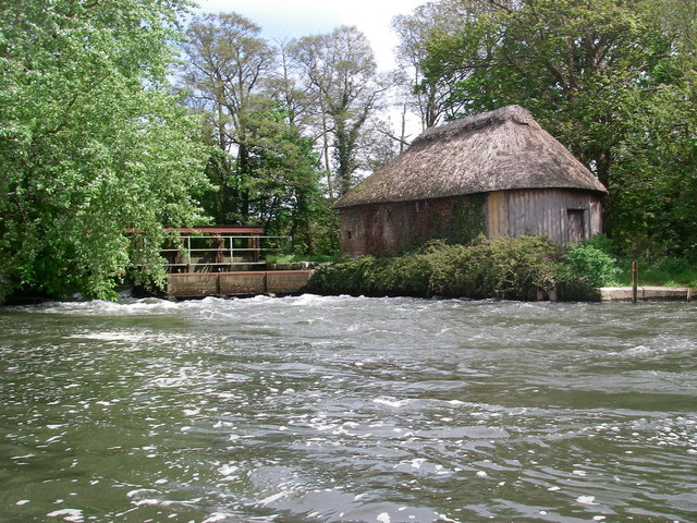
Hatches on the river Avon below Winkton

Barry Deakin

Lower Winkton, River Avon (Hampshire), Dorset

Members and accompanied guests

Lower Winkton is Christchurch Angling Club’s stretch of the Hampshire Avon in Dorset, with weedier shallows upstream and deeper holes downstream. Most of it is lightly fished, apart from the water immediately below Winkton Weir.

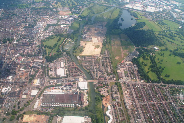
Northampton South: aerial 2014

Chris

Midsummer Meadow

Day ticket

Midsummer Meadow is a proper town-centre River Nene stretch, run by Northampton Nene Angling Club. It fishes from the left bank between Nunn Mills Road bridge and the entrance to the old river course known as the Dead Arm.

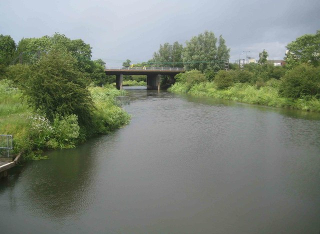
River Nene Navigation: A45 road bridge

Nigel Cox

Nene Navigation Channel

Day ticket

A proper urban navigation stretch run by Northampton Nene Angling Club, with the Nene channel winding from the A45 road bridge area past Casuals Rugby Club and Rushmills Business Park to Queensbridge. It’s day-ticket water, with locks and a navigable-channel feel rather than a wild, tucked-away riverbank.

River Avon at Wasperton

David P Howard

River Avon at Wasperton

Members only

Wasperton is an extensive, picturesque Warwickshire Avon stretch run by Royal Leamington Spa Angling Association. The club says it’s returning to its best, with plenty of fresh fish stocked after the 2023 fish deaths.

River Ouse at Beningbrough

JThomas

River Ouse – Beningbrough Park and Village Sections

Day ticket

Over two miles of right-bank Ouse fishing, split between Beningbrough’s Park and Village sections and run by YDAA. There’s proper variety here, with summer bream, barbel and pike among the named fish, plus the Nidd mouth opposite the Park section.

River levels: the bank-side questions

What does the river level actually mean?

It’s the height at that particular gauge, not the depth of your swim. Gauges use different measuring points, so 2m on one river isn’t the same as 2m on another. Compare a gauge with its own usual range and recent readings, not another river’s number.

Does a normal river level mean it’s safe to fish?

No. The usual range describes past levels at the gauge — it isn’t a safety limit. Slippery banks, debris, fast water and local flooding can still make a swim dangerous. Check official flood warnings, the forecast and access rules. If water is rising onto the bank, give it a miss. Never wade into floodwater.

How should I react to a rising river?

Safety first: rising water can cut off your way back. If the bank is safe and fishing is permitted, look for steadier water close in rather than automatically casting into the strongest flow. Keep checking the edge and your exit. Bigger leads won’t make an unsafe swim worth fishing.

How do I fish when the river is low and clear?

Keep your silhouette off the water and make less fuss on the bank. Look for cover, deeper runs and changes in pace where access allows. Start with a modest feed and adjust to actual bites rather than piling bait in. Use tackle suited to your target fish and snags — don’t go too light just because it’s clear.

What changes when the river starts dropping?

Falling water doesn’t guarantee a bite or a safe bank. Mud can be slick and debris can keep moving after the peak. Recheck the swim’s pace, depth and snags before choosing a float or feeder line. Start steadily and let bites guide your feeding; yesterday’s productive line may fish differently today.

Why is a gauge missing or showing an old reading?

Gauges can pause, change measuring feeds or stop reporting. We show when the reading was taken and flag readings more than six hours old. A gap isn’t proof the river is steady. Try another gauge on the same river, check official warnings and judge the water in person.

Not in England?

We haven’t connected these yet, so use the official services for now:

River level data: Environment Agency, Open Government Licence v3.0.